I’m hold up in the RV today after pulling my back when the toasted startled me this morning. So I figured that I should do something productive and write a post for the blog.
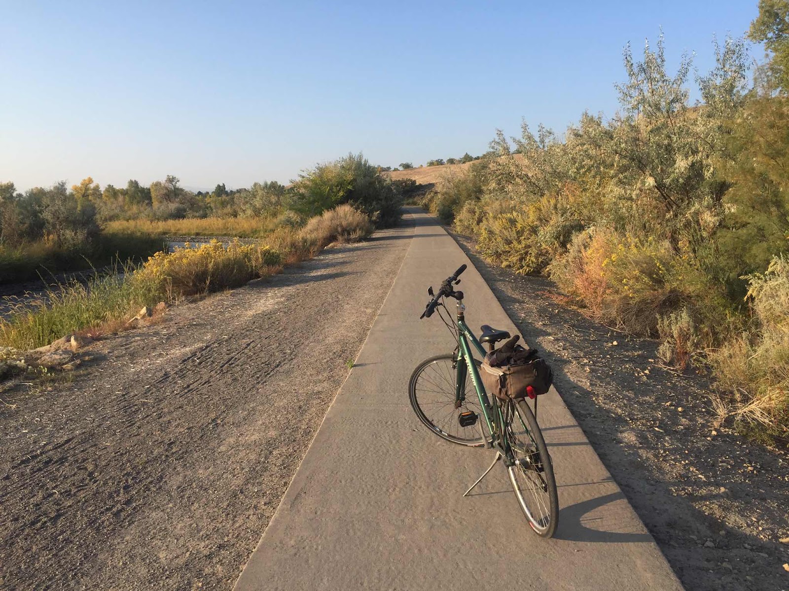
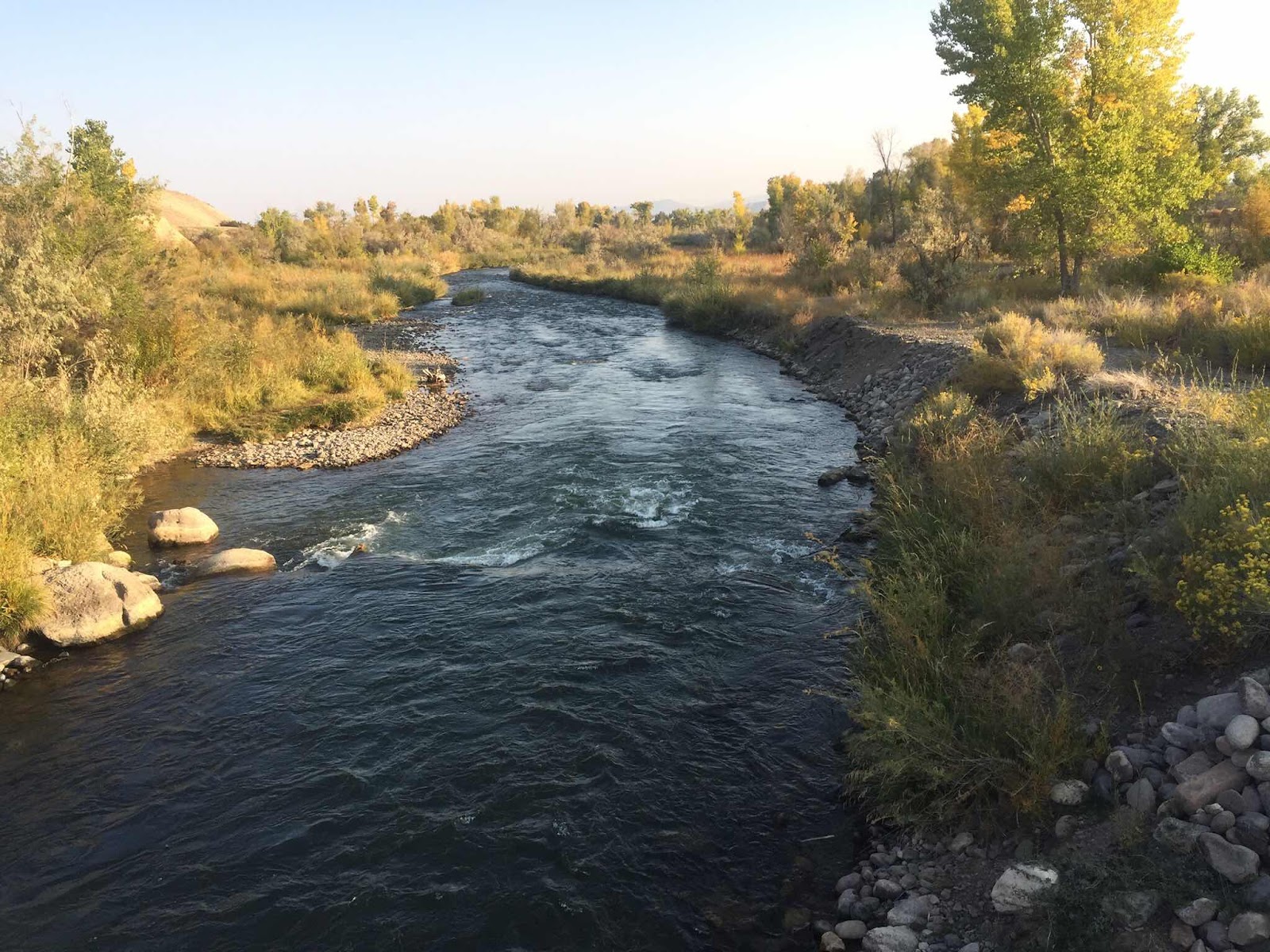
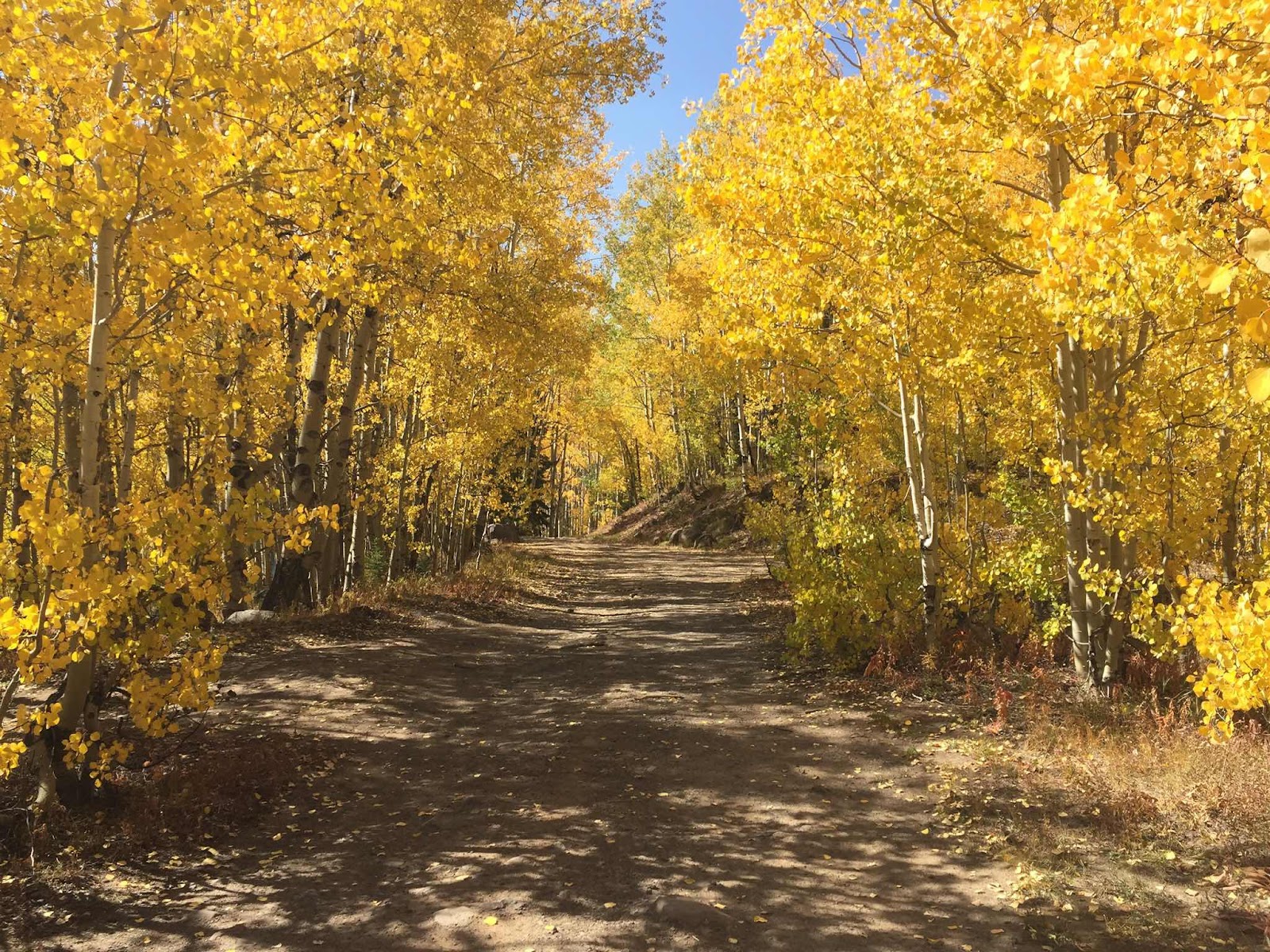
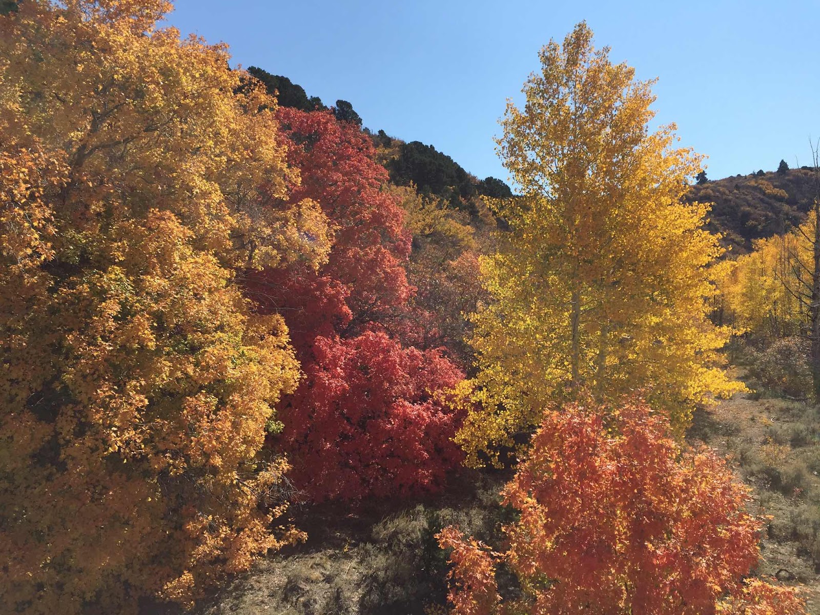
We continued south along the Western Slope in Colorado and found a really nice adult only RV park near Montrose. Montrose was the destination because it was close to Grand Mesa, somewhere we’ve never been, and a really great bike path. Colorado has a lot of bike paths separated from roadways and many times through green corridors. Denver has over 600 miles of them! This one in Montrose follows the Uncompahgre River though a open space where the deer and the antelope play. Anyway I managed to get in a couple of rides early in the morning. We spent a day checking out Grand Mesa, a high mesa of forest and meadows way up there at 10,000 feet. The fall colors were in full display,


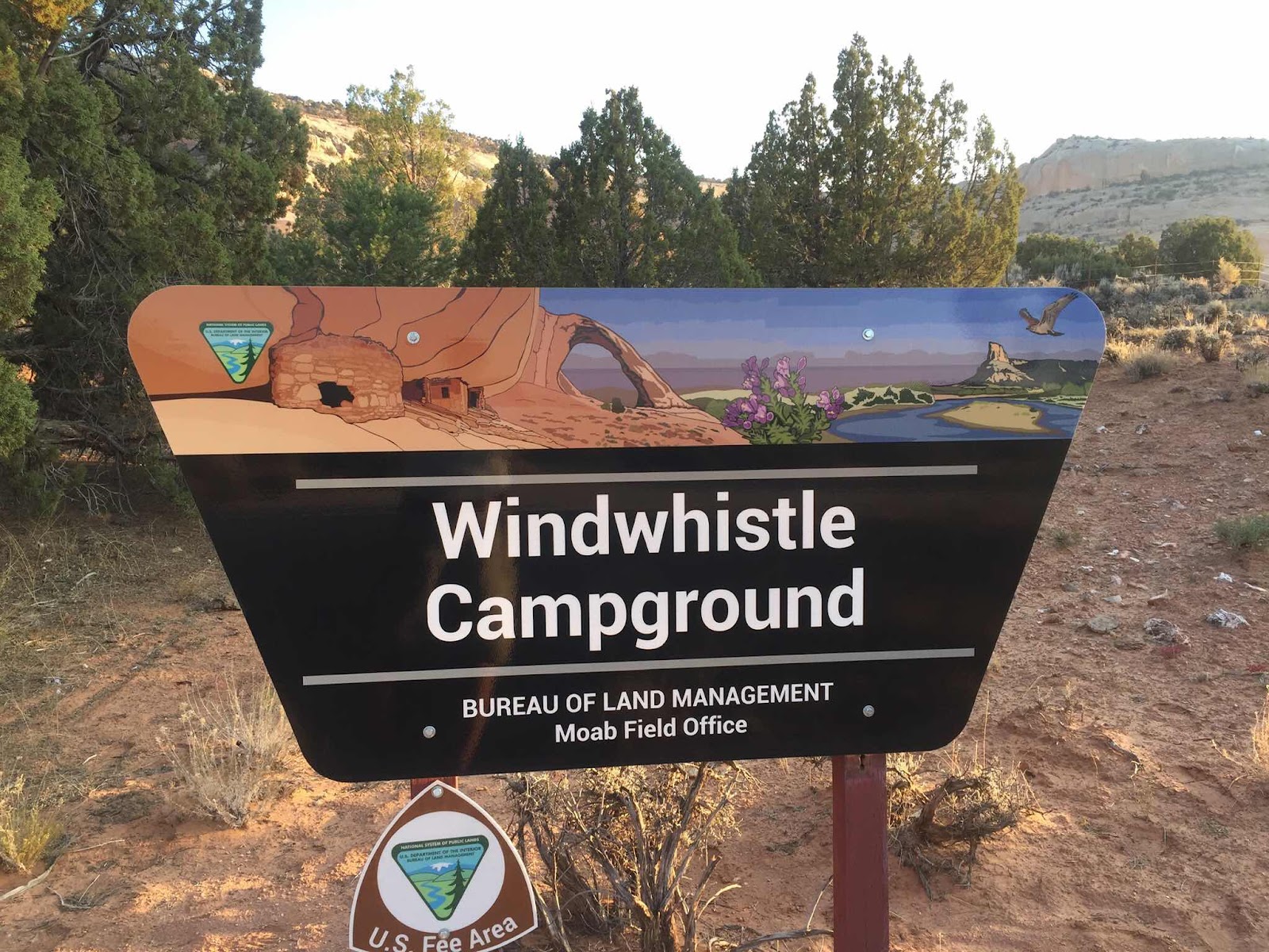
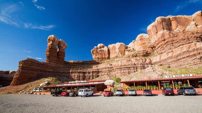
Leaving Colorado we headed west into Southeastern Utah to explore more Anasazi sites in and around the little town of Bluff. With the exception of restocking with groceries in Moab, we did our best to avoid this, the most crowed town in these parts. Moab is beautiful with all the red rocks, but it has become soo popular that it has become a place to avoid, at least for us. Lots of traffic, a line to get into Arches National Park and most campgrounds are full. We found Windwhistle Campground south of town about 40 miles on the edge of the Needles District of Canyonlands National Park. A small 14 unit campground off the beaten path became a peaceful place to stay for 3 nights.


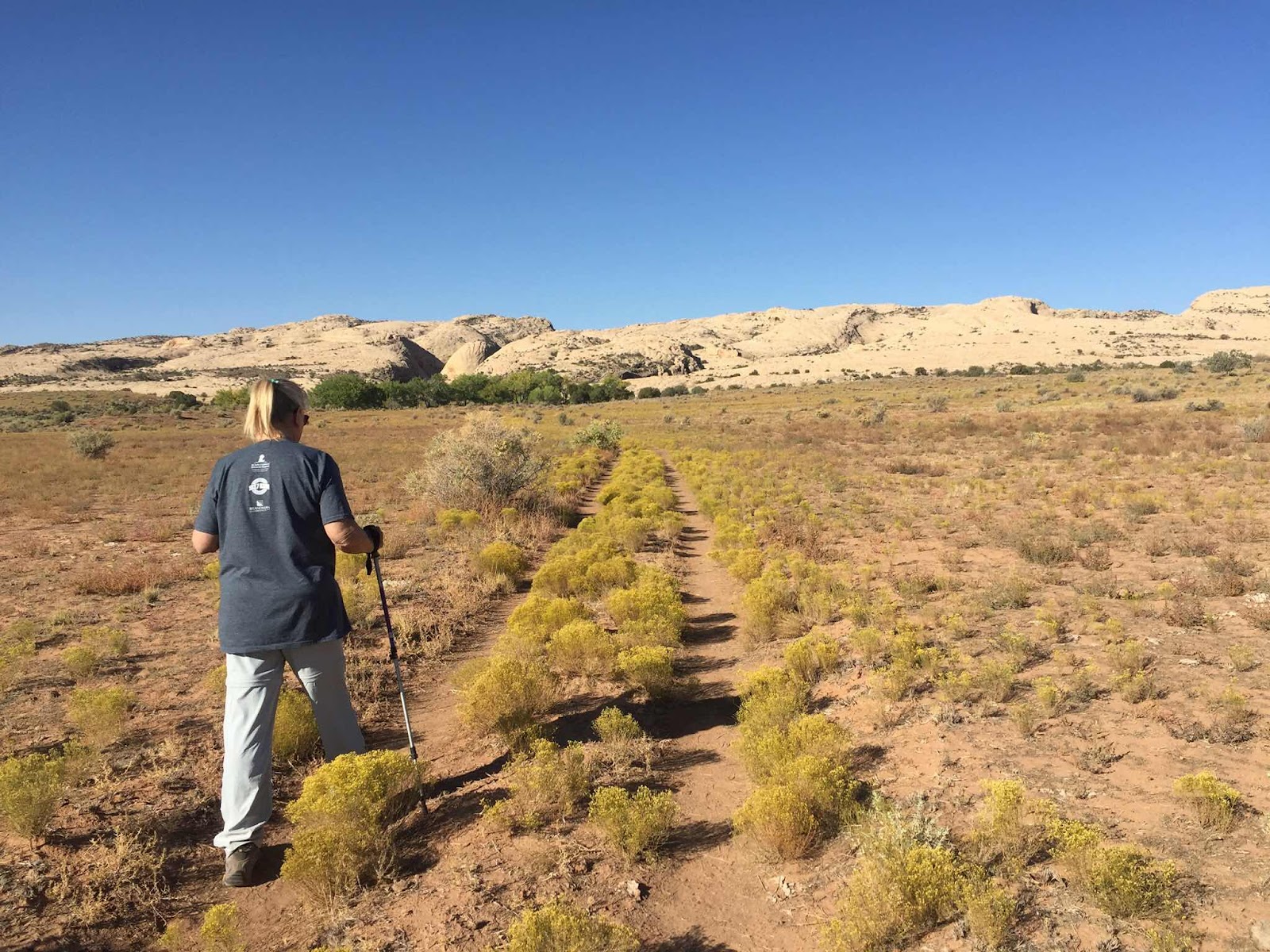
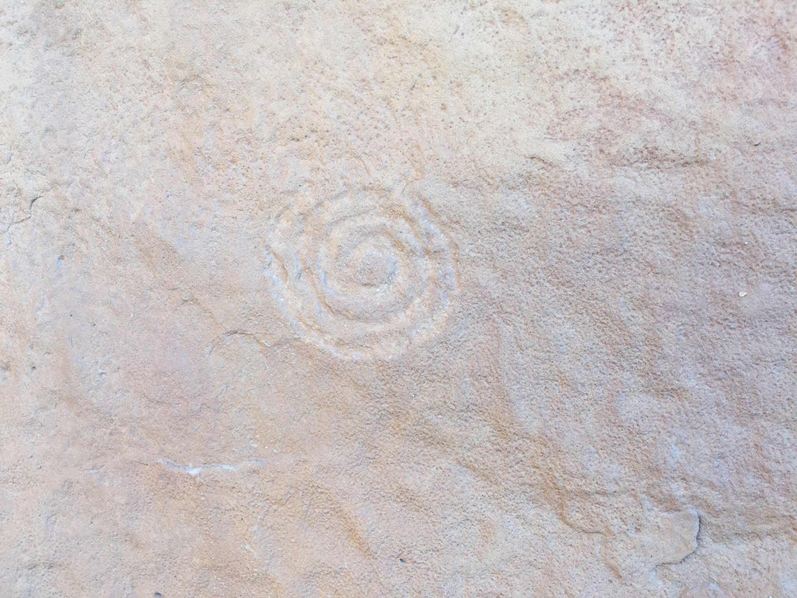
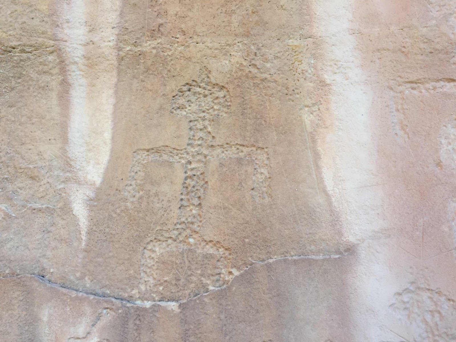
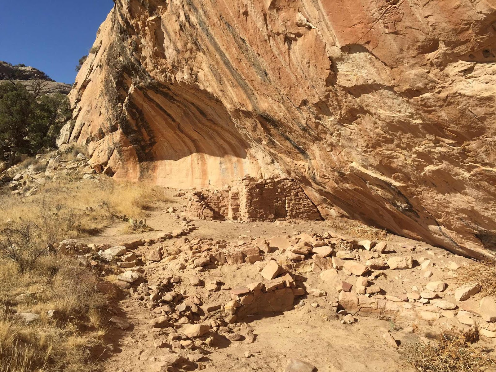
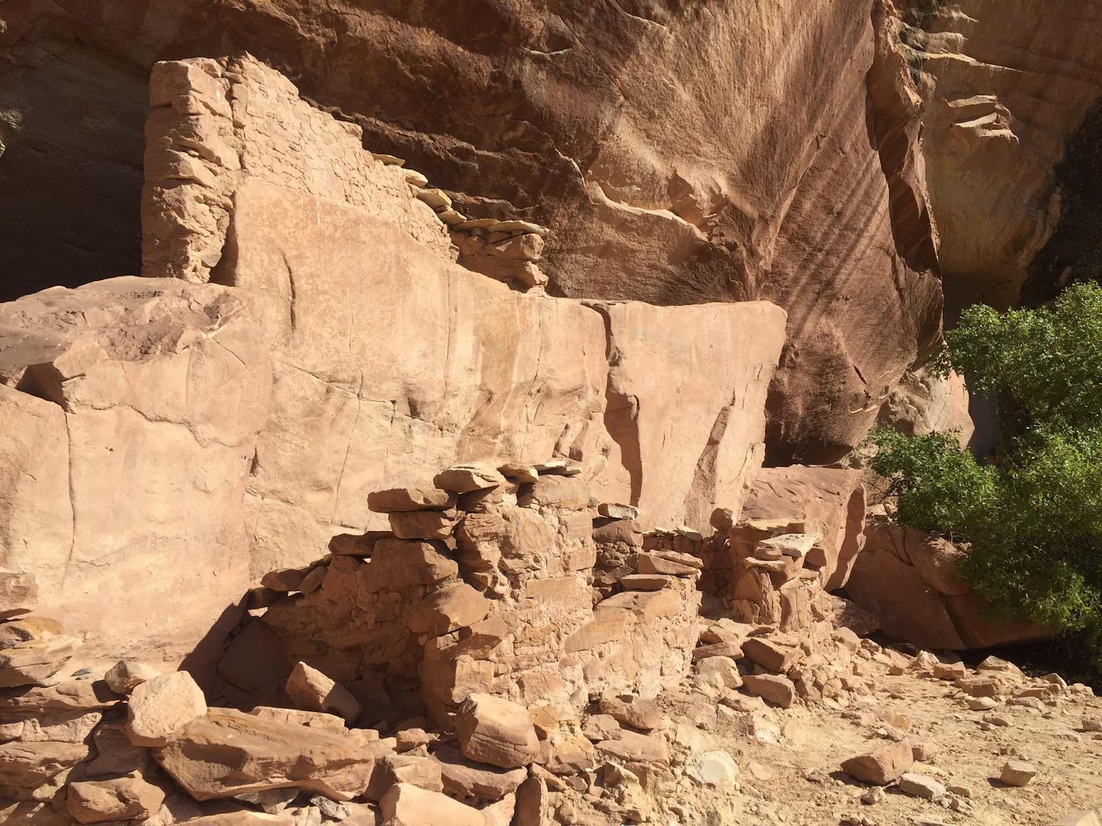
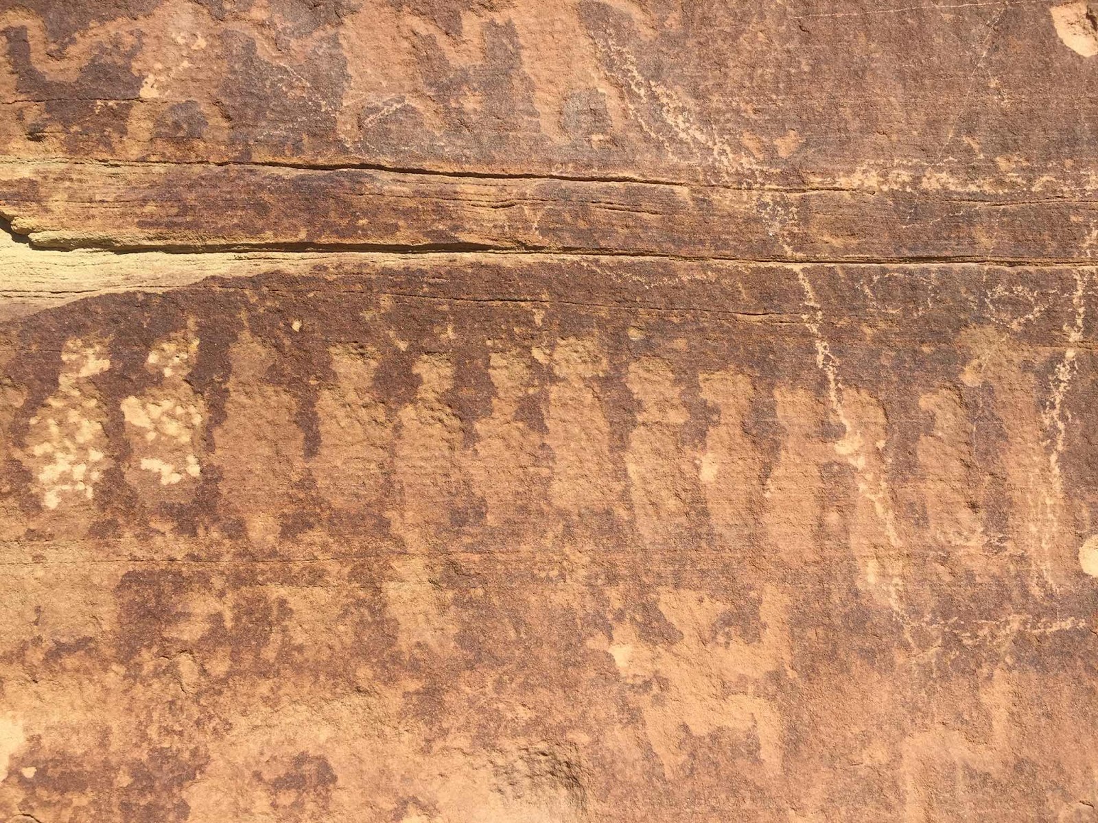
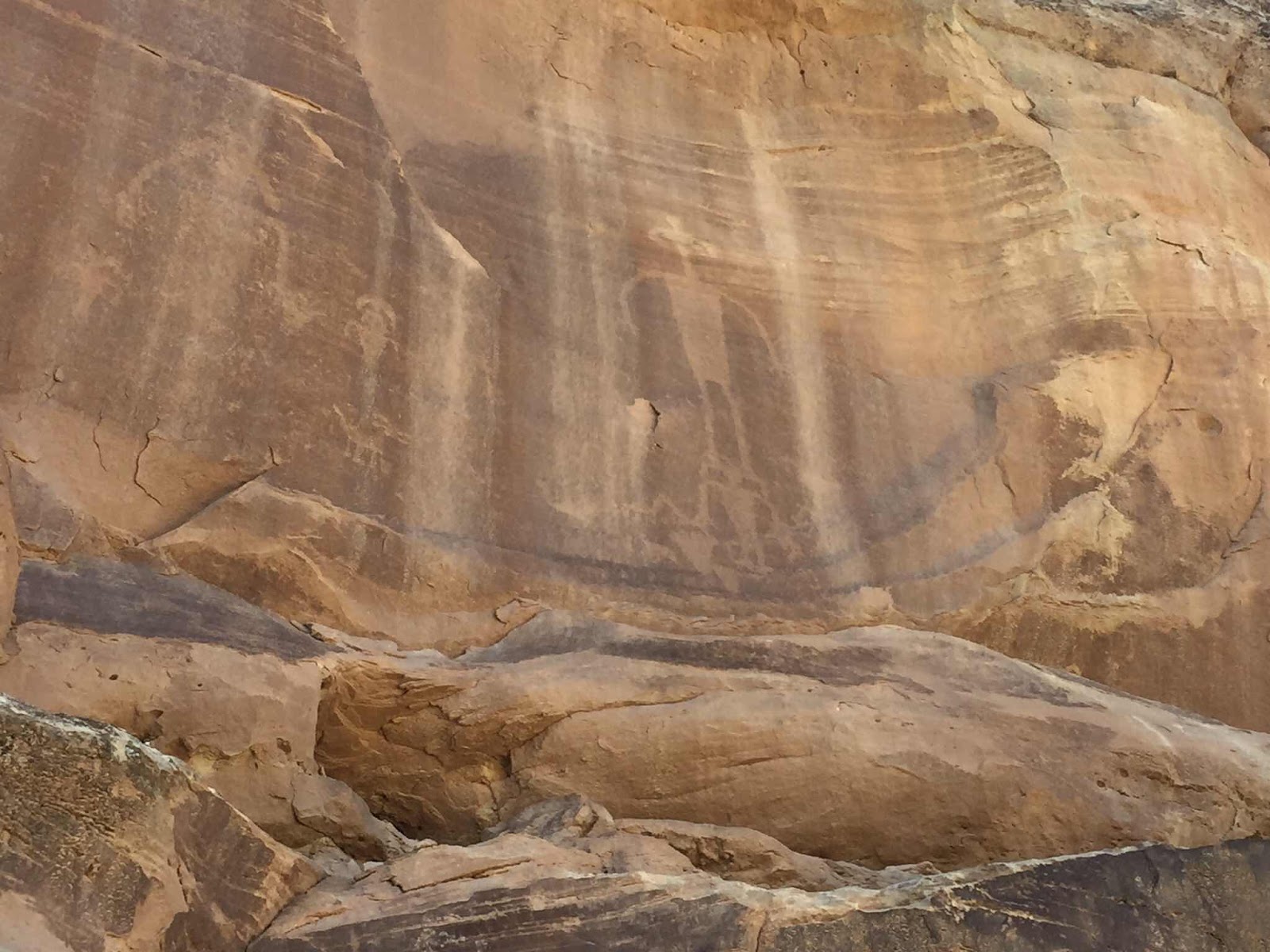
Next up, Bluff, a small town of about 320 folks situated between beautiful red rock bluffs and the San Juan River, hence the town’s name. It was settled by Mormon Pioneers in 1880. There were 230 settlers so the population hasn’t grown much. Before the arrival of the Mormons, the area was populated by ancient peoples for thousands of years. There are literally thousands of sights in this area where there is evidence of the previous occupants in the form cliff dwellings, stone structures, petroglyphs and pictographs. Some are very difficult to access, but there are many that can be reached by a short hike. If you keep your eyes peeled while driving the local roads and highways you can sometimes spot these sights from the road.

BLUFF FORT
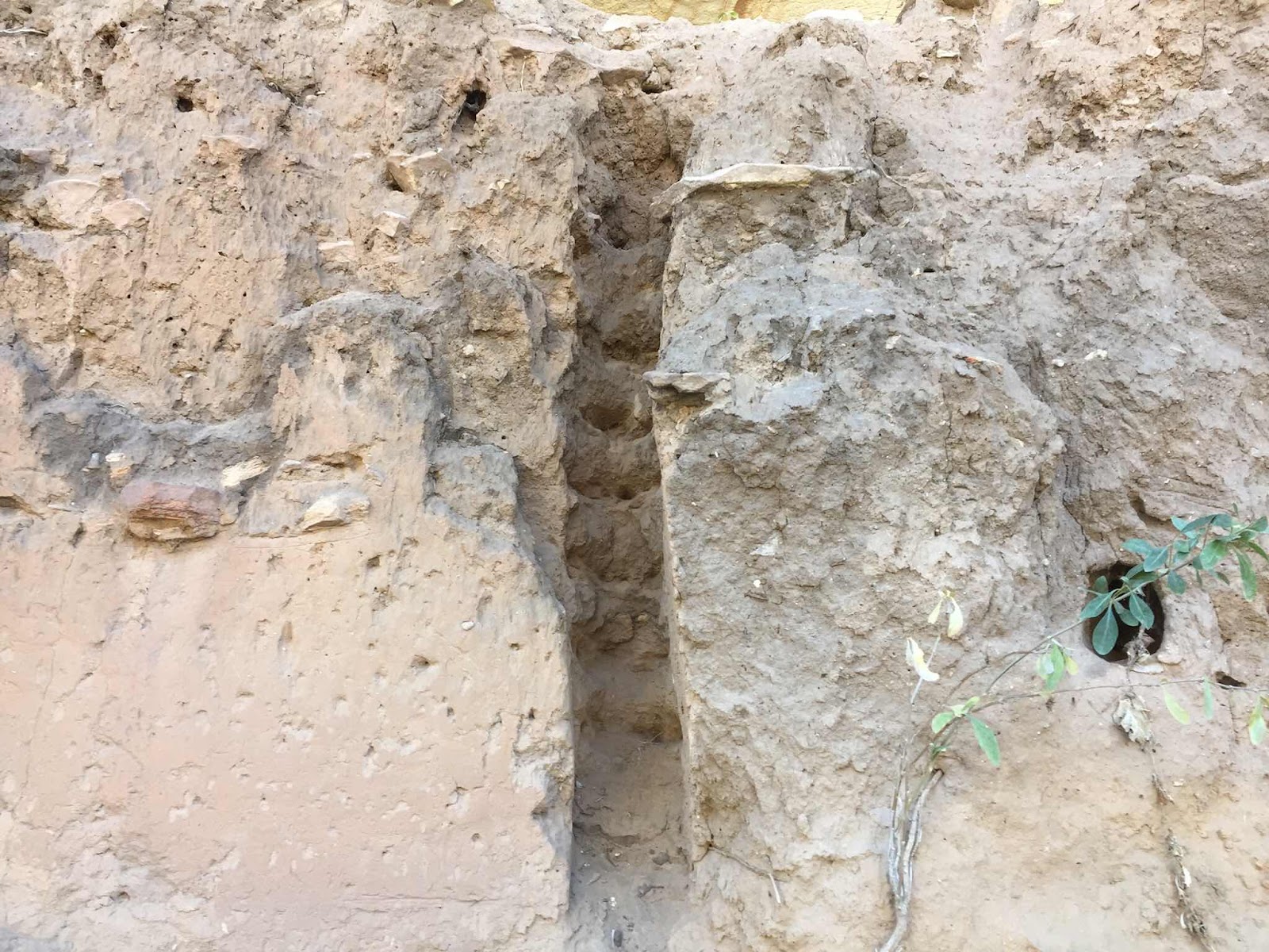
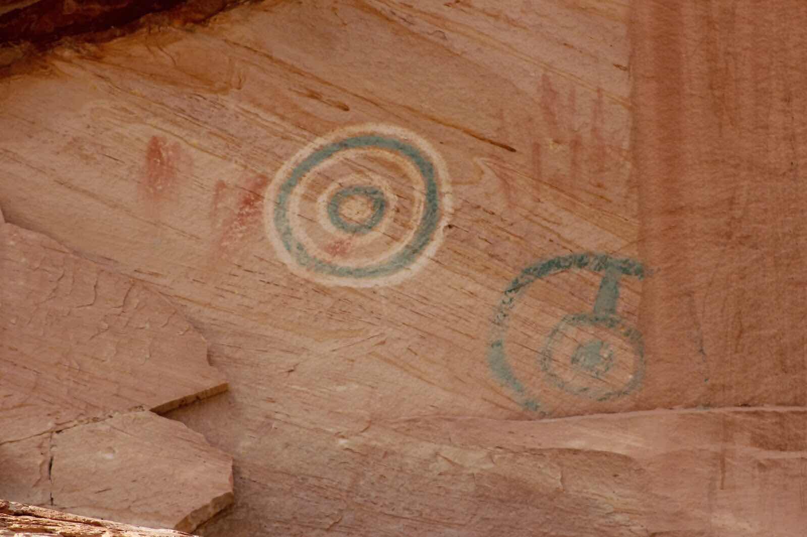
We took a short hike to a ruin called “Split Level Ruin”. The lower level is accessible, but the upper level is high on a cliff face making it near impossible to get to. Besides the stone structures in various degrees of deterioration, there are lots of petroglyphs and pictographs. There are some circle pictographs high on the cliff with a bluish green color which is rare.
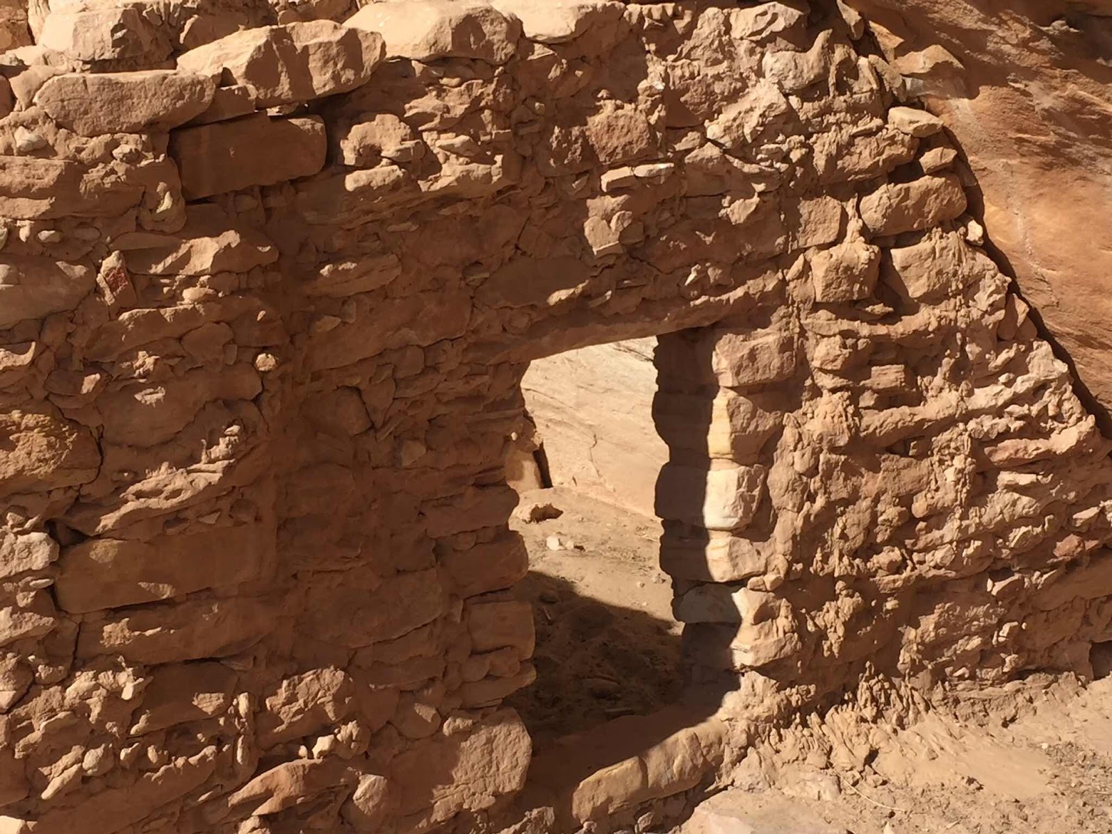
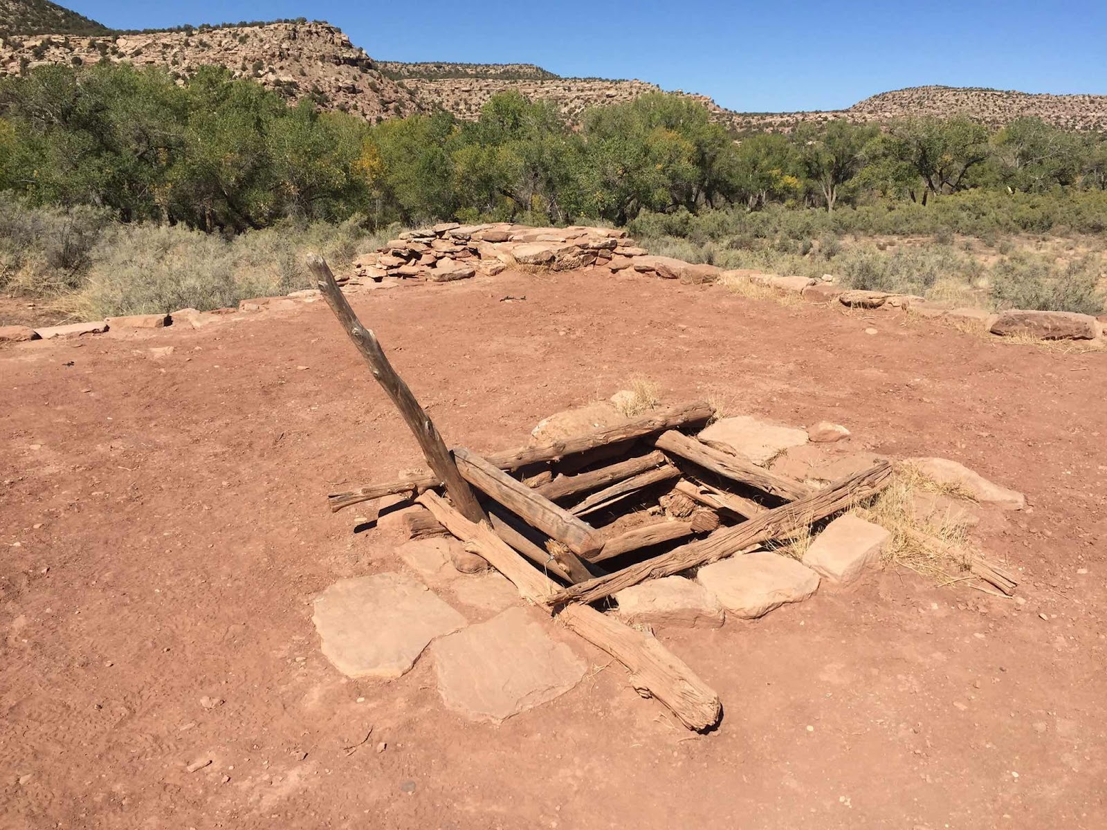
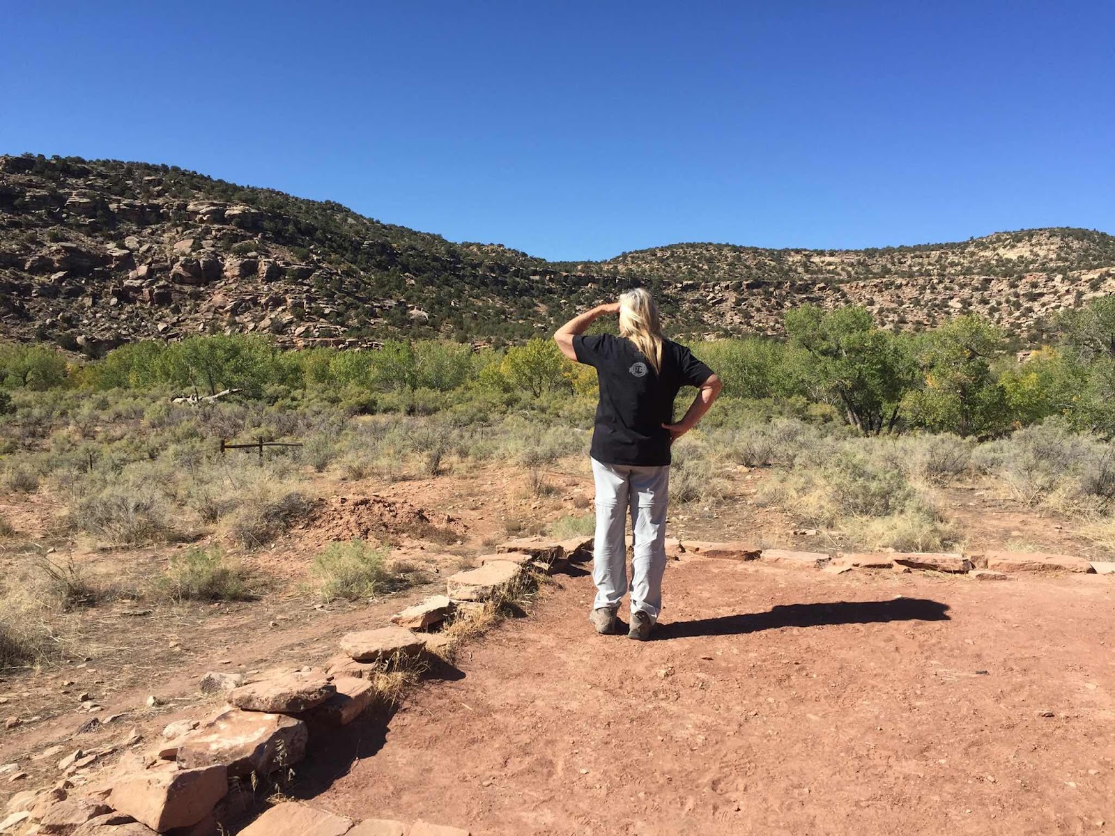
We checked out several kiva sites in the area, one near Blanding viewed from across the canyon. You, not me, can walk the ledges down into the canyon and get inside the site if you’re ok with cliff side climbs. Not something I will do, preferring to stay away from cliffs. In nearby Montezuma Canyon we saw more petroglyphs and a restored kiva. Restored by BLM volunteers, the kiva is one that you can gain access to through the rooftop opening.


Tomorrow we cross into Arizona where we intend on checking out several places that we are considering moving to in the near future. More about that in the next post.
No comments:
Post a Comment